2016 – Wyoming,
Montana, and South Dakota
PART ONE
 You can also access our map share: https://share.delorme.com/
If a password is required - Montana01

If a password is required - Montana01
We left home by 5:20 a.m. on Friday, September 23rd,
making a quick stop at Starbucks to fuel up.
We headed west on I-74 and I-80 stopping on the west side of Omaha at a
Holiday Inn Express for the night. On
Saturday we drove as far as Rawlins, WY and again stopped at a Holiday Inn
Express. After breakfast we headed for
Lander, WY and Sinks Canyon State Park, Popo Agie (Shuh) campground. There were a number of dispersed areas to
camp, but I wanted to fly fish and this campground was a 2 minute walk to the
river.
This trip was planned around places to visit and places to
camp on recommendations by Ski, Frank, Foy, and Stew. Before I get into the trip I wanted to make
sure that Susan and I thanked each of you for making this an unforgettable
trip. Those recommendations took us out
of our comfort zone, and there were times we thought we were on a wild
roller coaster ride.
Septmeber 25th
– 27th Lander, Wyoming
The camp ground at Popo Agie (Shuh), described by Native
Americans as the gurgling river, was beautiful and it was close to Lander so we
could drive back into town and have lunch at the Lander Brewing Company, one of
5 micro-breweries that we visited during our trip.


The Popo Agie River flows underground at a place called the
Sinks and and surfaces at a place called the Rise. All types of testing was done to see whether
the river water flowing into the Sinks was the same flowing out at the
Rise. Dye was used and they discovered
that it took upwards of 2 hours for the water to flow out at the Rise. The
Rise is full of Rainbow and Brown Trout, no fishing allowed. Traveling through the Sinks Canyon one can
see billions of years of geologic history of the Wind River Range and Basin. This area is part of the Shoshone National
Forest.

The Sinks

The Rise


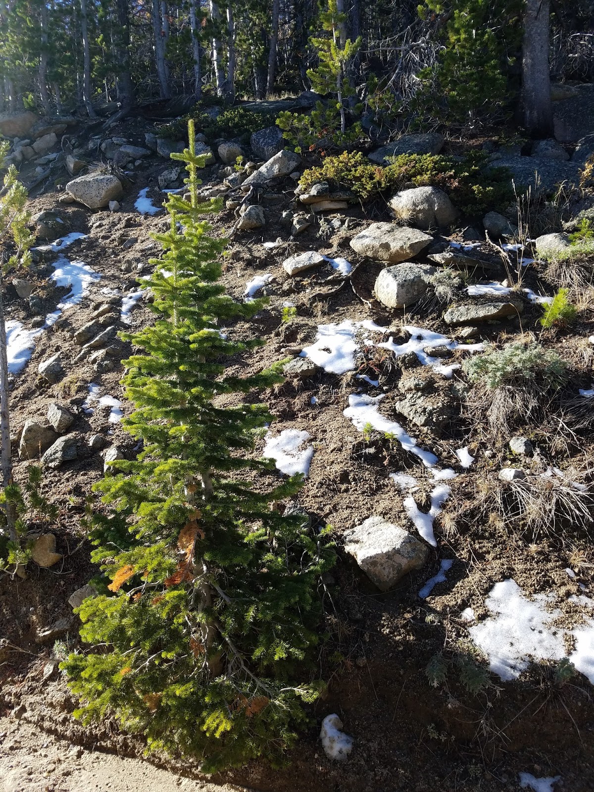
The Wind River Range was snow capped and provided a beautiful backdrop.


The river is full of boulders and the fly fishing was a challenge. I was able to fish for 1-1/2 hours each day, but with not even a bit. For someone new at fly fishing this river gave me more than I was expecting


After two days in Sinks Canyon it was time to move on. We drove the switch back road for the second
time and past Frye Lake. This was
considered as a possible camp area, but when we drove by the lake was approximately ¼ of the size shown on a
satellite picture. Many lakes had low
water levels. Taking 131 south it
changed to single-lane gravel, with some sharp drops and beautiful fall colors
and mountain lakes. The Cottonwoods and
Aspens were golden and made every stop a great photo shoot.

Hwy. 131 headed to South Pass

Louis Lake on Hwy. 131
Even a little snow on the ground along Hwy 131 on our way to Atlantic City, WY


We continued to Atlantic City and South Pass were we saw the
old Mercantile buildings in each of the towns.


Mine in Atlantic City

Carissa Gold Mine


We stopped at the Carissa Gold Mine near South Pass. There was a school field trip at the old
Carissa Gold Mine and another in South Pass where there were a bunch of small
homes where the miners lived. Stew
thanks for pointing us to the Wind River Range and Sinks Canyon. The weather was great and there was plenty to
do, including a couple of mile hikes. We
found out very quickly that altitude can stop you in your tracks. Considering we are both fit, it was a rude
awakening when we had to catch our breath.
We continued to cross over the Continental Divide over the next several
days with elevations reaching 7,750 ft.
September 27th
– 28th Green River Lakes
Our plan was to take the Lander Cut-off and head to Green
River Lakes. Susan had our Wyoming
Benchmark open and we took one last look together, locating the Oregon Trail marker, and other noted
landmarks. We found this beautiful sign
along the road, but no road marked with a sign “Lander Cut-Off”, or a highway
446, nor did we find the Oregon Trailer marker.
There was one road with a brown sign that said Big Sandy. We missed the cut-off and continued southwest
on Hwy 28 until we got to 189/191 and headed to Pinedale. We stopped for lunch at the Wind River
Brewing Company and then continued on to Cora and Green River Lakes
Campground. Not long after we started on
the gravel road portion of the road we saw a Bull Moose in the field. This area is part of the Bridger Teton
National Forest. One interesting thing is that Wyoming is still an Open Range
State and cattle were roaming along the road, blocking the road, and just going
at their slow pace.

When we entered the Green River Lakes Campground, we were
greeted with a spectacular view of the Wind River Mountains and Flat Top
Mountain. The campground was closed for
the season, so no fee. There were
several boaters and a few occupied campsites.
We had a nice campsite to ourselves and hiked down to the lake. We arrived late so no fishing and or our
planned hike along the Continental Divide trail. Ski thanks for the recommendation on Green
River Lake. One night didn’t do it
justice, so we have a reason to wander back on another trip. On the way out we had a Bald Eagle flying the
opposite direction over the Green River and the cows to dodge.

Bull Moose on drive into Green River Lakes

Our campsite at Green River


Wind River Range & Flat Top Mountain

Flat Top Mountain
Flat Top Mountain with morning fog over the lake


Blocking the road along the Green River
No comments:
Post a Comment